Navigation and Communication, for People Who Do Not Plan to Get Lost
A phone is a superb navigation tool right up to the moment its battery dies or the signal goes. Everything in this section exists for the hour after that.
Start here if…
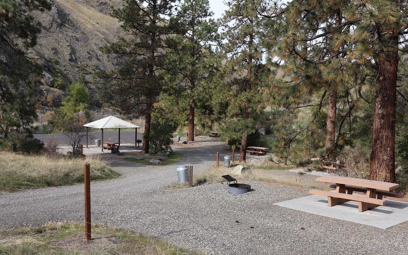
Camping in a campground with a signal? You need almost none of this — but read how to navigate without a phone before your first walk beyond the site. Walking somewhere with no bars?Satellite messengers covers the devices that work where phones do not. Buying your first compass?Compasses explains which three features matter and which are decoration.
Keeping track of people, or of yourself?Two-way radios is honest about what the range claims mean, handheld GPS asks whether you need one at all, and GPS watches compares them on hours rather than features.
Two different problems that get confused constantly
Navigation is knowing where you are and which way to go. Communication is telling somebody else. They use different gear, they fail in different ways, and a device that does one does not automatically do the other. A compass will never call for help. A personal locator beacon will never tell you which valley you are in.
The beginner version of this is simpler than the gear catalogue makes it look. For camping in a developed campground with cell coverage, you need neither: your phone does both. The moment you walk beyond the campground, or camp somewhere without a signal, you need a way to navigate that does not depend on a battery, and — depending on how remote you are — a way to summon help that does not depend on a cell tower.
Situation
Navigation
Communication
Campground with a signal
Phone; a paper site map
Phone
Day walk from the campground
Map and compass in the pack, phone in use
Phone, and tell someone your plan
Backcountry, no signal
Map and compass, phone as backup
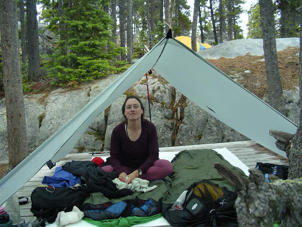
Satellite messenger or PLB
Solo, anywhere remote
Map and compass, practiced
Satellite messenger with two-way messaging
What each kind of trip actually needs. Most camping sits in the first two rows.
Why a compass still earns its place
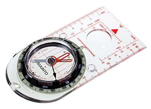
A baseplate compass weighs about an ounce, costs less than a tank of fuel, has no battery, survives being dropped, and works in fog. That combination is why it has not been replaced by anything, and why search and rescue teams still carry one.
The three specifications that matter on one are declination adjustment, needle balance and the scales printed on the baseplate. Declination adjustment lets you set the local difference between magnetic and true north once, so every bearing you take afterwards is right. A globally balanced needle works in both hemispheres, which matters if you travel. The scales let you measure distance on a map without arithmetic. Everything else — mirrors, clinometers, magnifiers — is useful to some people and decoration to most. The comparison is in best compasses for hiking.
Messengers, beacons and radios are three different things
This is the part beginners get wrong most often, because all three are sold in the same aisle and all three promise safety.
A personal locator beacon is a one-purpose emergency device. Press the button and it transmits a 406 MHz distress signal to a government-run search and rescue system. No subscription, no messaging, no check-ins, and a battery measured in years. An ACR ResQLink 400 publishes a 5-year battery replacement interval and 24+ hours of operation once activated.
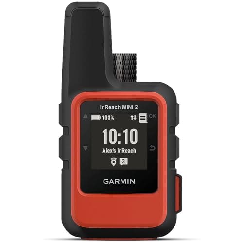
A satellite messenger is a communication device with an SOS button. It needs a subscription, it lets you send and often receive text messages, and it can share your position with people at home. A Garmin inReach Mini 2 publishes two-way messaging over Iridium with up to 14 days of battery at 10-minute tracking.
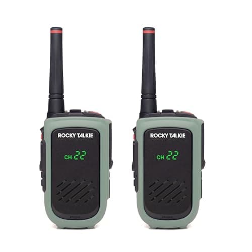
A two-way radio talks to another radio a few miles away. It is for keeping a group together, not for calling for help, and its range collapses in terrain. All three are compared in satellite messenger vs PLB vs two-way radio.
The skill is worth more than the gear
A compass you cannot use is an ounce of dead weight, and this is the one category on the site where buying the thing is genuinely the smaller half of the job. Taking a bearing, following it, and relating it to what you can see are learnable in an afternoon and forgettable in a season without practice.
The two skills that cover almost everything a camper needs are reading contour lines well enough to recognize the landform in front of you, and taking a bearing from a map and walking it. Both are in how to read a topographic map and how to navigate without a phone. Practice them somewhere you already know, which is the only way they stick.
What this section will not tell you
It will not give you search and rescue procedure, wilderness medical guidance, or advice on when to press an SOS button. We are not qualified to, and a gear site inventing emergency protocol is a genuine hazard. What we do is compare the published specifications of navigation and communication devices — weight, battery life, network, certification — and explain what each category is designed to do, which is checkable. For the rest, the agency and manufacturer documentation linked on each page is the authority.
It also will not tell you that a device makes a trip safe. Filing a plan with somebody at home, and sticking to it, does more for your odds than any of this hardware, and it costs nothing. That habit is covered in dispersed camping for beginners.
Questions people actually ask
QDo I need a compass if I have a phone?
For campground camping, no. For any walk beyond the campground, carry a map and compass as the backup that has no battery, survives being dropped and works in fog. A phone is an excellent primary navigation tool and a poor sole one.
QWhat is the difference between a satellite messenger and a PLB?
A personal locator beacon is a one-purpose emergency transmitter on the 406 MHz search and rescue system, with no subscription and a battery measured in years. A satellite messenger needs a subscription and adds two-way texting, tracking and location sharing alongside its SOS.
QDo two-way radios work for camping safety?
They keep a group in contact over a few miles in open terrain, and that is all. Range collapses in hills and forest, and they cannot reach emergency services. They complement a messenger or beacon rather than replacing one.